The Launceston Riverfront was the gateway to and from northern Tasmania, and Cataract Gorge was, and still is, an amazing natural feature practically smack in the centre of town. There isn’t much history left along the riverfront, but it is a pleasant walk, with a few hints to its history still to be found. The gorge is logically connected to the riverfront, so it made sense to cover them both in the same post.
It doesn’t seem to be as widely used as the First Nations name of kunanyi in Hobart, but some of the riverfront information signage identified the Tamar as kanamaluka in the local First Nations language. It isn’t apparent if the First Nations had different names for the North and South Esk rivers, or indeed if the Gorge had it’s own name.
Cataract Gorge
The river now known as the South Esk River has, over many thousands of years, eroded a path down through the rock of the plateau to form the Gorge. It is approximately 6.5 km long in its modern form. There are walking tracks along various parts of its length. I confess I didn’t do any of these tracks on this trip. Some of the several things on my list of things to do if I get back to Tasmania at some point.
First Basin
This is the main recreational area of the Gorge. It is a naturally formed basin with a small lake in the middle. There is a chair lift that crosses the gorge at this point, but it is also possible to walk around. A suspension bridge at the southern end (Alexandra Bridge) provides access at that end, and a raised walkway and short bridge do the same around the northern end of the lake. There are cafe’s on both sides. The car parking on the eastern side is not far from the cafe and it is a trivial walk to the cafe or chair lift. We didn’t use the western side carpark, but I gather it is a bit more of a walk.
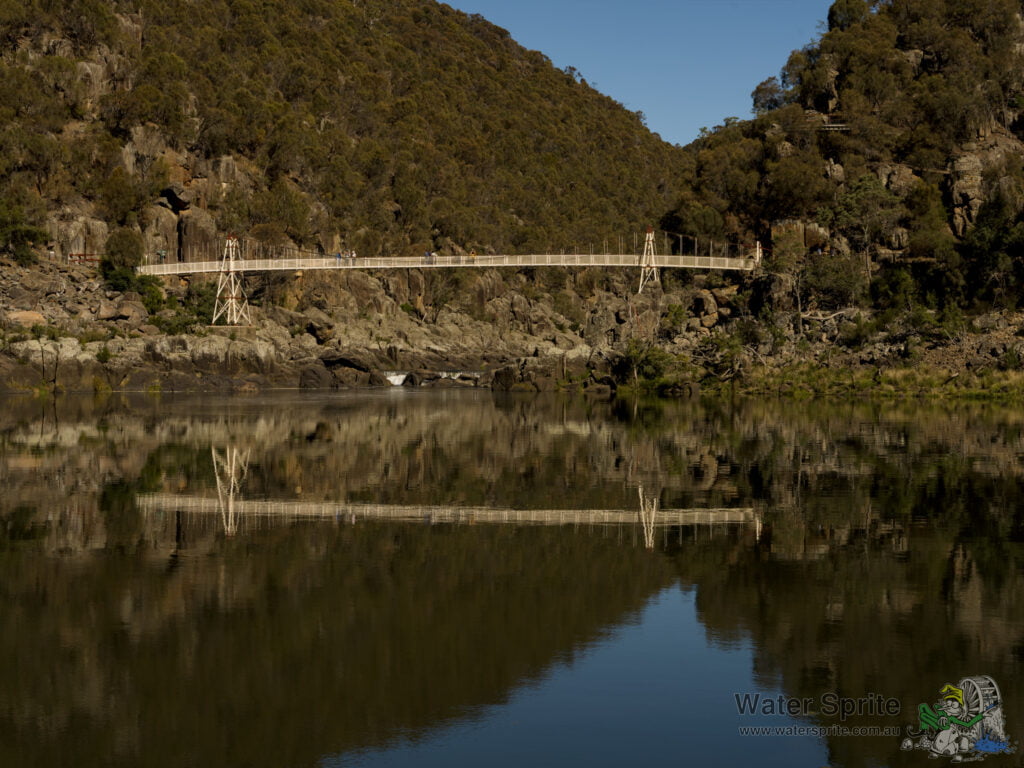
There is a swimming pool (not in the river!) and picnic area on the eastern side. The western side has a set of more segmented grass spaces surrounded by garden beds. There were a good collection of peacocks on both sides too.


Gorge cruise
If you’re after a quick and no-stress way to have a quick look at Launceston from the river(s) I do suggest you try the Cataract gorge river cruises. They give you a perspective of the gorge that you just cannot get any other way. I’m not sure if there are other options, but we went with Tamar River Cruises. A very knowledgeable cruise captain, and from where all my river level photos were taken.
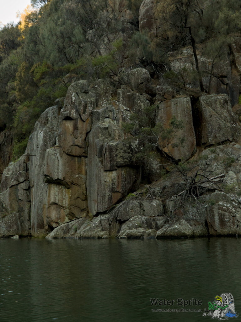
From water level, the steep sides of the gorge are very apparent, and they have a beauty all of their own. The South Esk river drains about 15% of the entire island of Tasmania, and so it is prone to flooding. The South Esk river is a source of hydroelectric power (or at least, it was), as well as the source of piped fresh water for Launceston town. In 1929 a major flood damaged or washed away a considerable portion of the riverside industry. There isn’t much direct evidence of that flood anymore, however along one wall of the gorge you can still see the supports that used to carry the pipes bearing the towns fresh water. The flood washed the pipes away, despite them being some 5m or so above normal water level.
Gorge walks
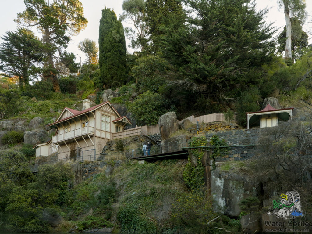
We didn’t do many of the walks around the Gorge, limiting ourselves mainly to the walks around First Basin. The gorge-side walk is definitely on my to-do list for a return visit, however. It was built (if I remember correctly) around the turn of the 20th century. There used to be a resident gatekeeper, who charged walkers a small fee to use the walk to pay for the upkeep. The gatekeeper lived in a gorge-side cottage immediately behind the gatehouse, where he could keep an eye on things.


The Riverfront
Launceston is, in Australian colonial timescales, an old city. It was in Launceston, if the locals are to be believed, that plans were drawn up for the colonisation of what become Victoria. In its early life, water transport was essential to the large scale movement of goods. To cater for this, the Launceston Riverfront become one of the busiest ports in Australia at that time. To be fair, there weren’t many ports in Australia at that time, but in any case, it was busy. Much of that old riverfront is now gone – having given way to modern developments and changing transport and social factors.
Transport
From the River Cruise, I understand that immediately beside the city centre was Queens Wharf. Nothing remains of that now.
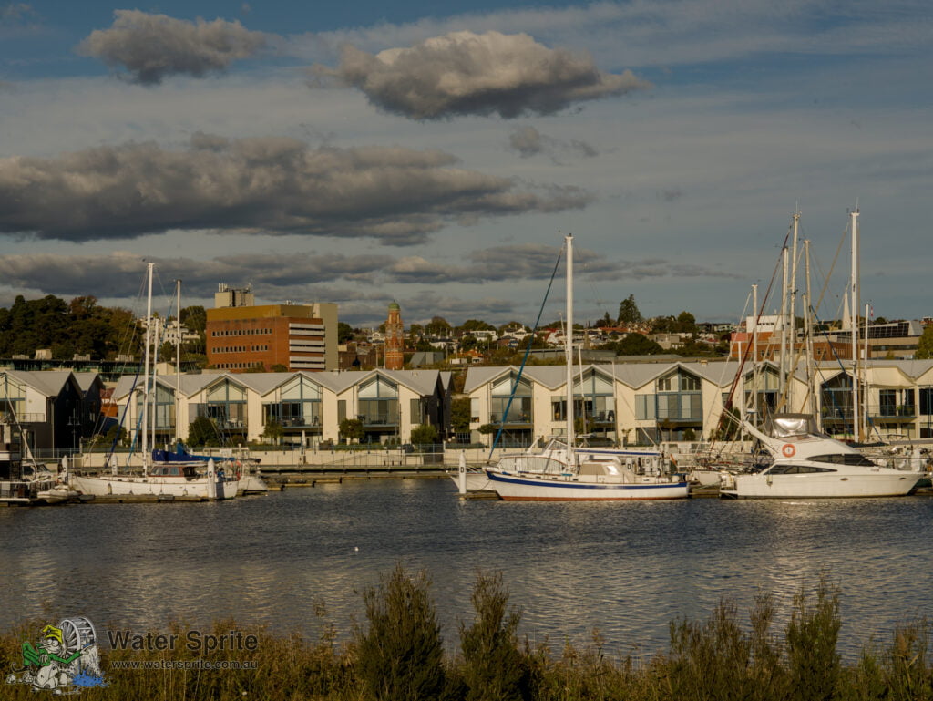
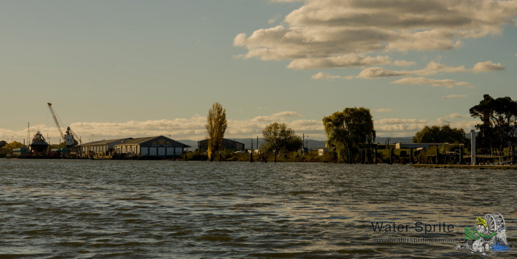
On the side of the Tamar to the north of the mouth of the North Esk river, Kings Wharf used to stand. Much of it is only visible as decaying and collapsing piers in the water. The bit that remains doesn’t appear to see much sea-going trade, but does house a still actively used ship maintenance business. This includes a lift to get them out of the water. There was a tug boat sitting out of the water as we went past.


The Silos
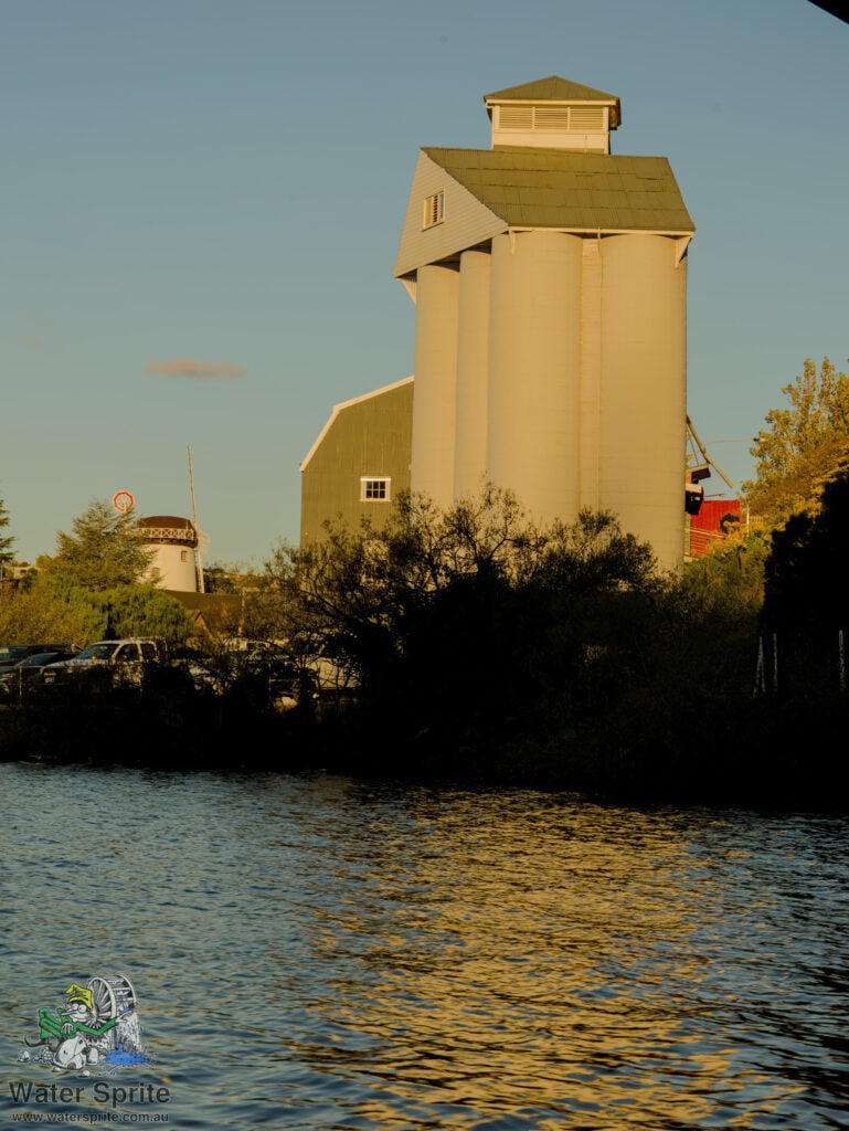
Launceston used to be a grain hub, amongst other things, apparently. There are two still-standing silo complexes. I was intrigued by the silo converted into the Silo Hotel. It is an interesting (but expensive, I would think) repurposing of the building.


Much of the land around the now hotel was once industrial area. It has now been cleaned up and repurposed, and forms a nice park (called, unimaginatively, Riverside Park) with an pretty awesome set of play spaces for kids from toddlers up to tweens.
I’m not sure what the other silos are used for. The other buildings in the complex are a restaurant and accommodation, but it isn’t clear if the silo building itself is in use.
Other stuff


Disclaimer
We attended the establishments and locations mentioned in this post as full fee-paying guests. Our hosts were not advised that we were semi-professional photographers or bloggers. It is our understanding that the tours and information we were give where normal tours provided to any member of the public.
The views expressed in this post are mine and mine alone, and any errors in it are also all mine. Any recommendations made in this post are unpaid and are based entirely on my experiences during my visit. Your experience may differ, and I cannot be responsible for that.
Leave a Reply